 Aaron Shohet - 01/11/2011
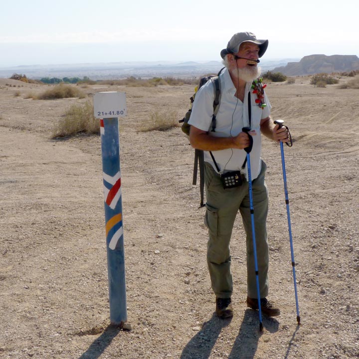
We set out from where we stopped
last year. Dany by the same post he stood at the end of Year 4
יצאנו מהנקודה שבא סיימנו בשנה הקודמת. דני ליד אותו עמוד מסוף מקטע
4
למפת המסלול נא ללחוץ על הקישור הזה
תודה למאיר, שסיפק את רישום הנתיב המבוצע על פי הג'י פי אס של
מכשיר האיפון שלו, ולפיו עדכנתי את המפה
 במפה שתתקבל תוכלו
להשתמש בקישור
ברגע שתקישו על קישור זה גוגל יעביר למחשב שלכם קובץ לצורך צפיה בו
באמצעות
Google Earth
לא רק לצפיה אלא גם לטיסה מעל המסלול
For a map of the course click here
Thanks to Meir, who provided the recorded GPS route we traveled
from his iPhone. This was used to correct the map
On the map page you reach you can click on the " " logo and fly the
whole route
 Aaron Shohet - 07/11/2011
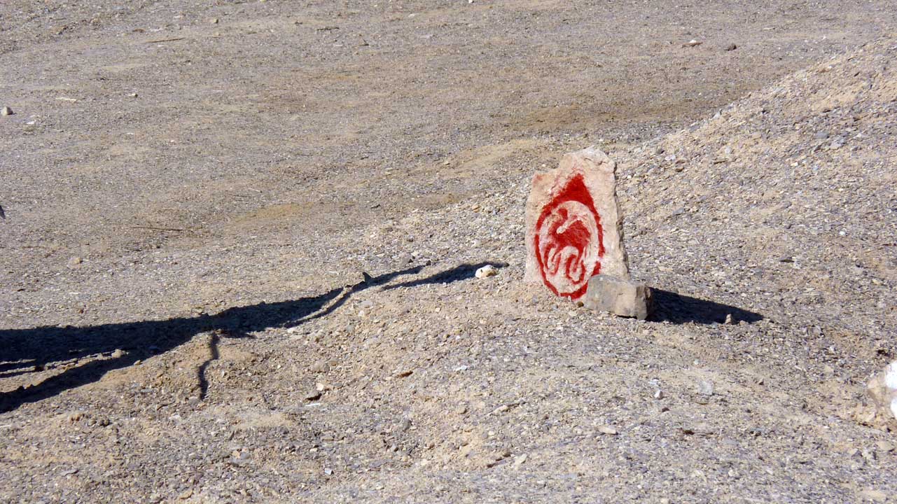
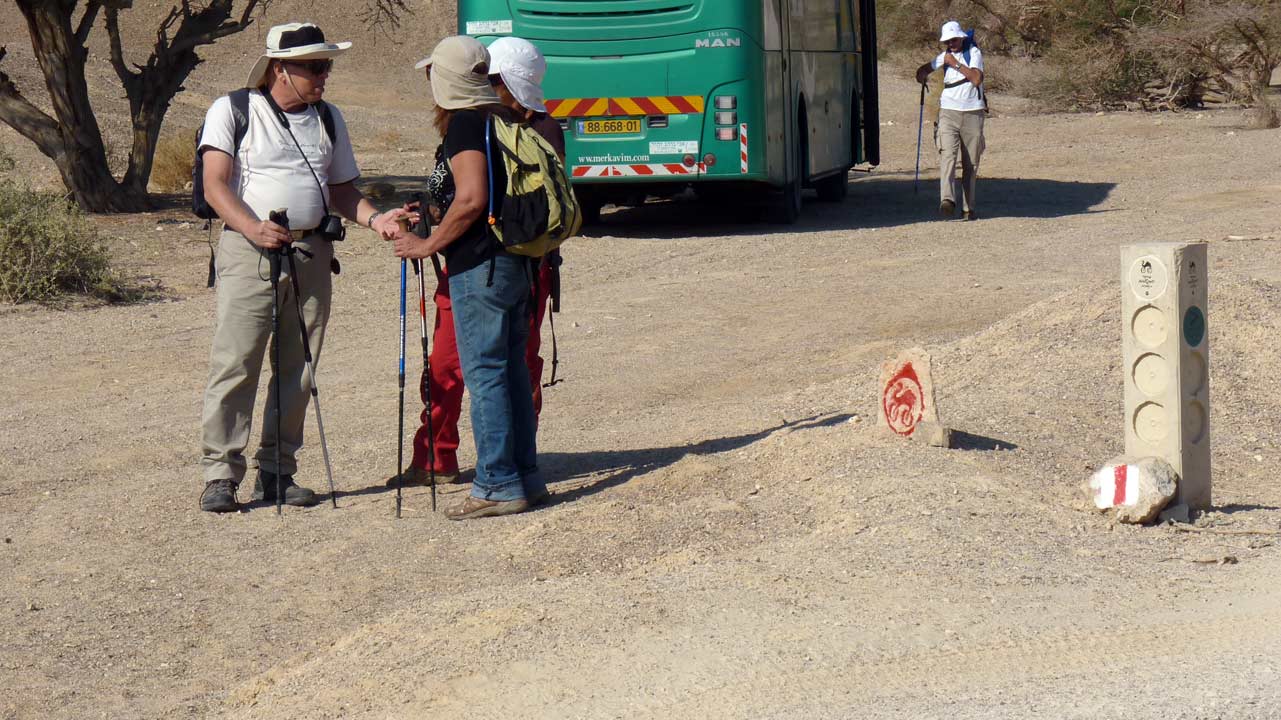
I thought this was the camel rider's version of the Isareli
National Trail, Dany corrected me saying this is a local
bike trail sign
חשבתי שזה סימון שביל ישראל לרוכבי גמלים, דני תיקן ואמר לנו שזה
שביל אופניים איזורי
 Aaron Shohet - 07/11/2011
And we're off to see more desert scenery
יוצאים לדרך ולראות עוד נופים מדבריים
 Eli Paglin - 07/11/2011
 Aaron Shohet - 07/11/2011
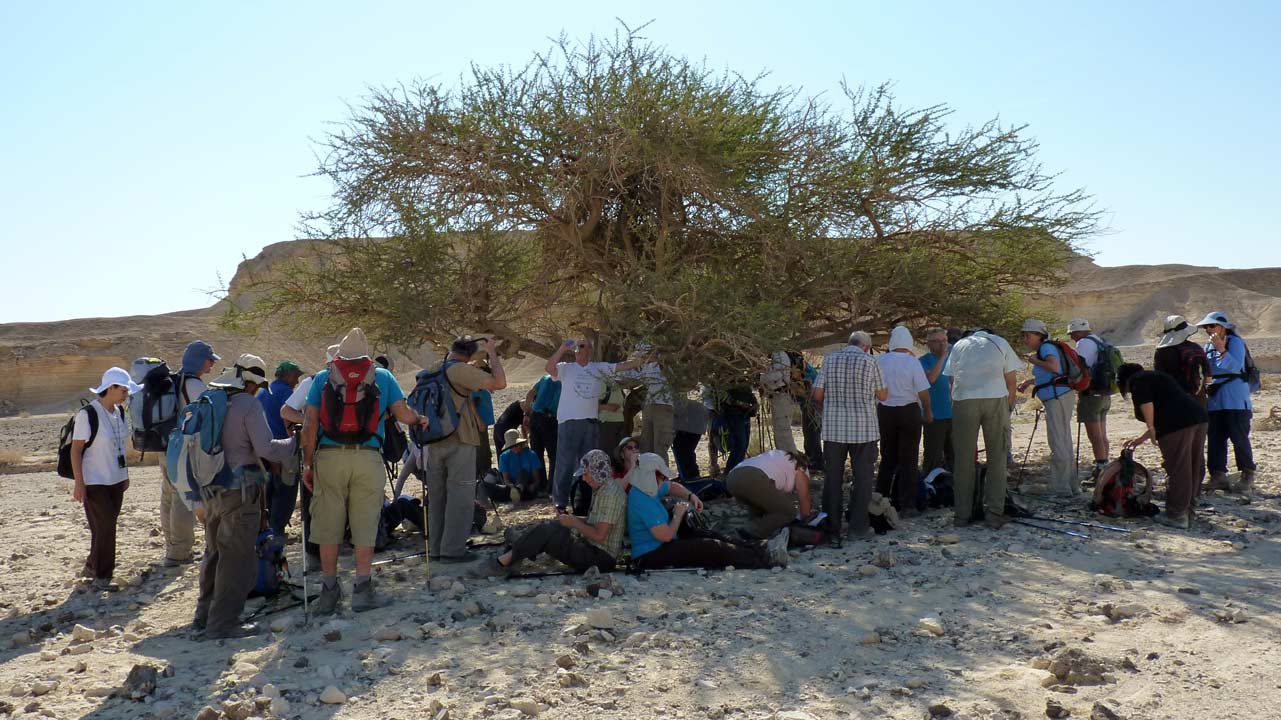
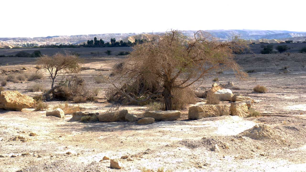
Shade under a "Twisted Accacia" tree
נחים בצל שיטה סלילנית
 Aaron Shohet - 07/11/2011
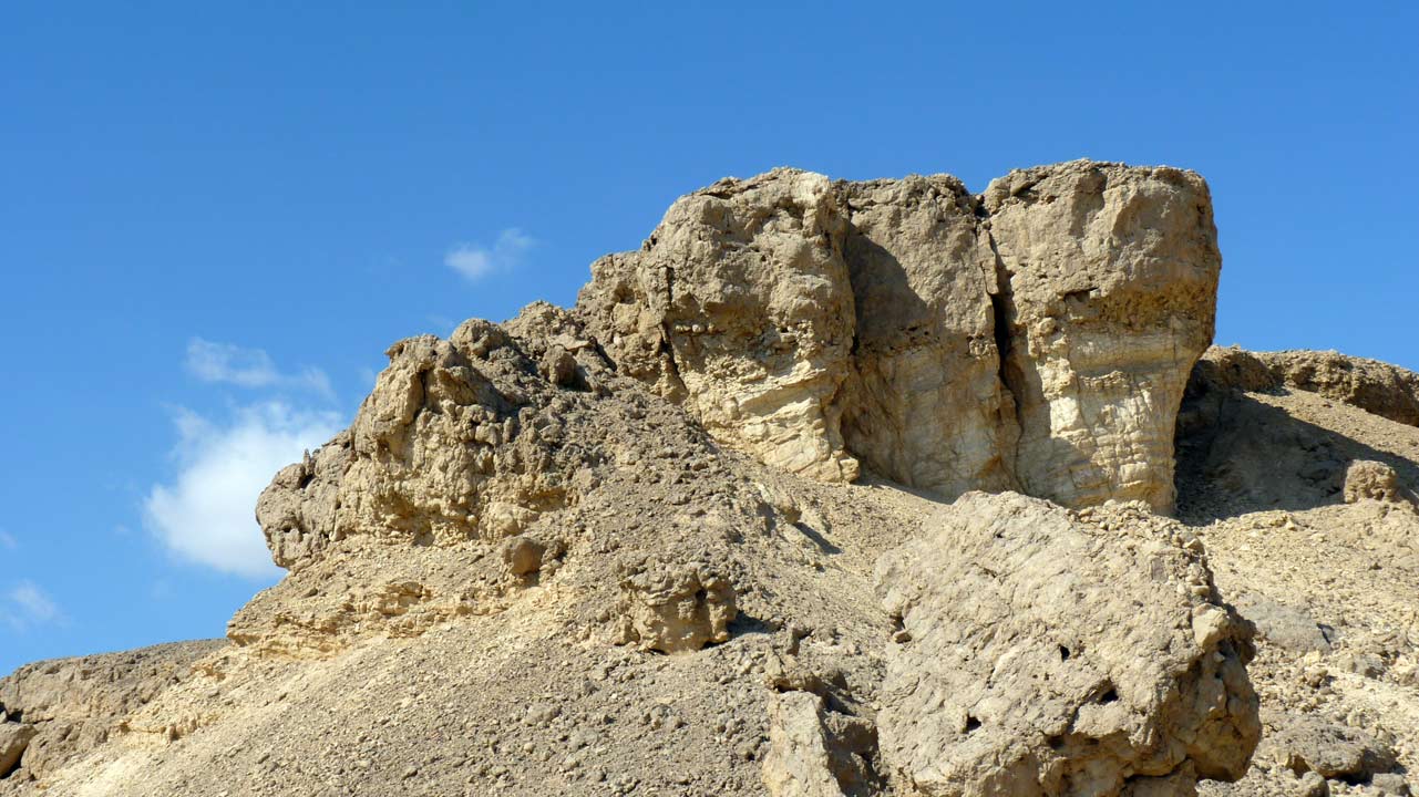 Aaron Shohet - 07/11/2011
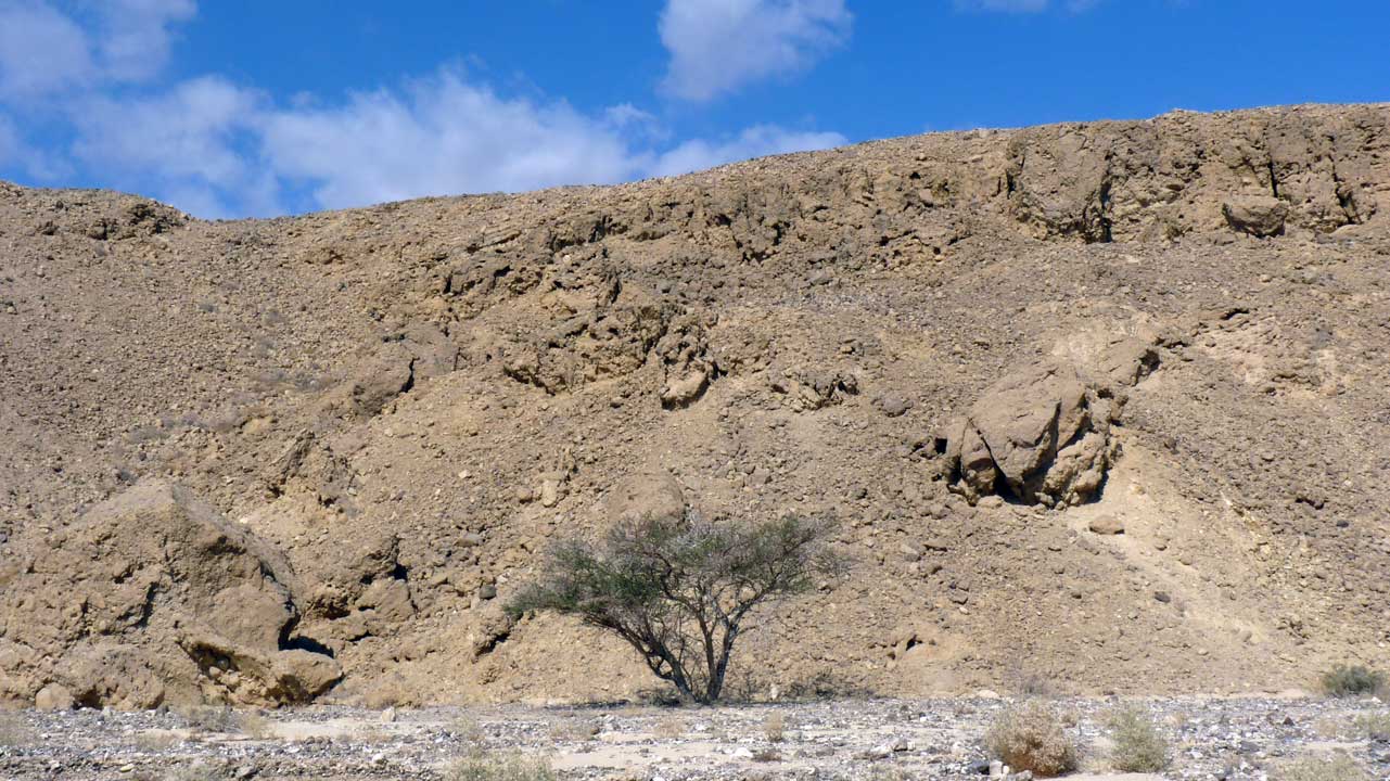 Aaron Shohet - 07/11/2011
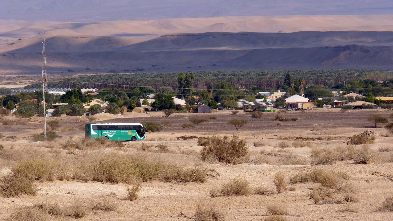
Tsofar - צופר
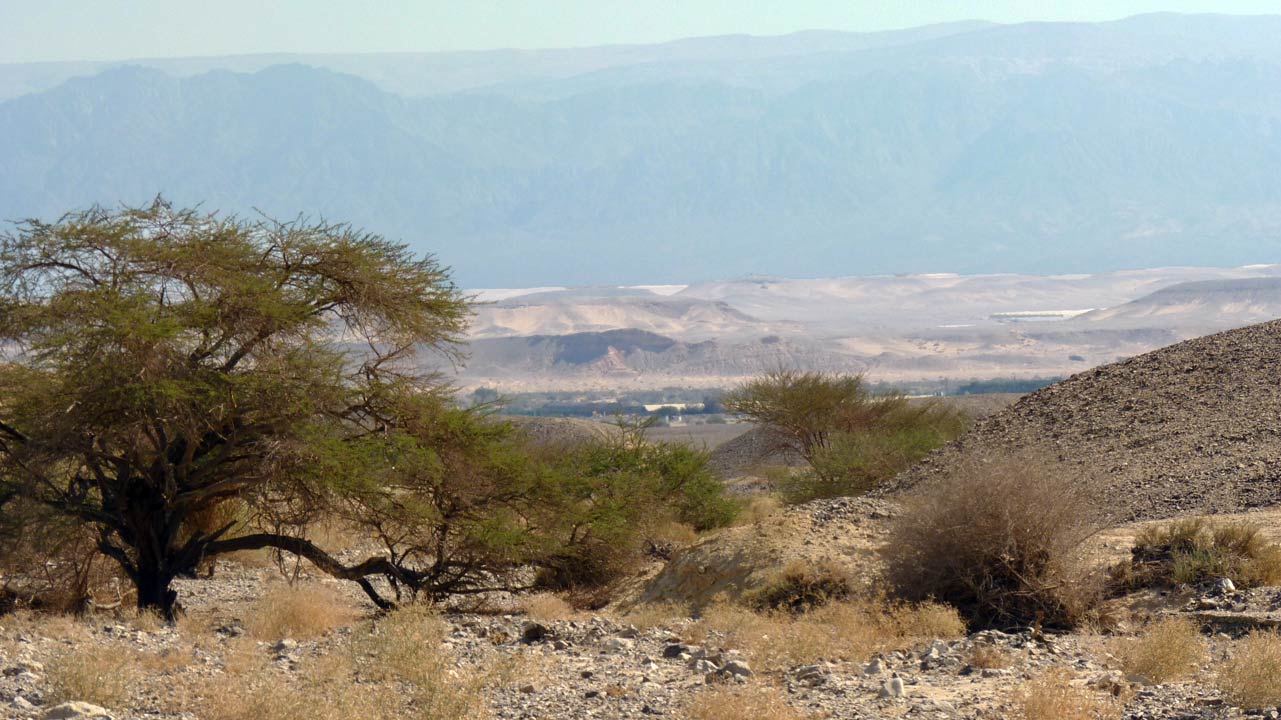 Aaron Shohet - 07/11/2011
Tsofar in the center of the photo, and at 2 o'clock from there
some of their greenhouses on the other side of the Jordan
צופר במרכז התמונה ובשעה 2 ממנה בתי הרשת שלהם מעבר לירדן
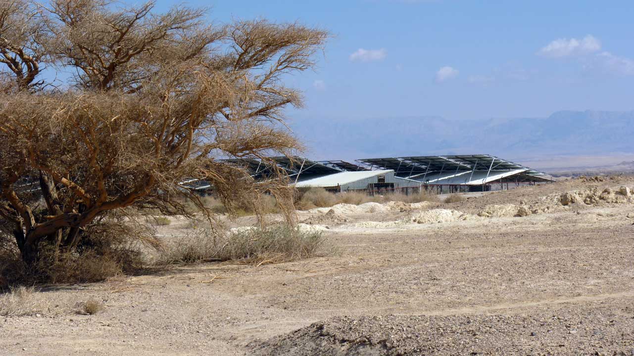 Aaron Shohet - 07/11/2011
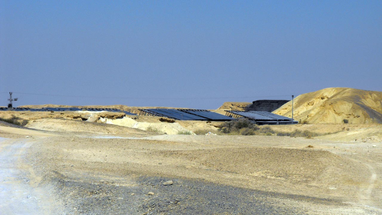
These were turkey coops belonging to Tsofar, the enterprise was
abandoned and the roofs of the coops were rented out to a solar
energy company employing solar cell panels to create electricity
אלה היו לולי הודים של צופר, הרעיון הוזנח והשטח הושכר לחברה שניצלה
את הגגות לקולטים סולריים ליצירת חשמל
 Eli Paglin - 07/11/2011
 Aaron Shohet - 07/11/2011
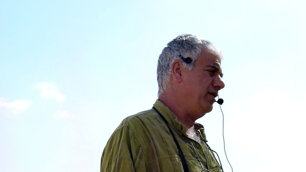
Dany arranged a meeting along our route with Uzi Kharit, a veteran
of Tsofar - from the initial settlers - who told us about the
Arava
settlements;
Hazeva,
Ein
Yahav &
Paran in general and Tsofar in Particular.
דני סדר לנו מפגש עם עוזי חריט מוותיקי מושב צופר - מהגרעין הראשון -
שסיפר לנו על
ישובי הערבה (
חצבה,
עין יהב ופארן) בכלל וצופר בפרט. סיפר לנו על בעיית
המחסור בעובדים חקלאיים ובהבטחה של משרד הפנים שלא קויימה על רשיונות
לעובדים זרים - ראו כתבות אלו:
"המדינה תשלם לחקלאי הערבה 14 מיליון שקל" ו
"שדות
שמשוועים לידיים עובדות". הוא גם סיפר לנו את פשר עניין החול
הנחוץ לחקלאות, אצלם זה אגרוטכנולוגיה של גידול לגובה בבתי רשת וכל
מה שהם צריכים זה ציפוי דק מאוד של חול על האדמה של הערבה והשאר הם
יעשו. דני הוסיף על פרשת
חולות סמר שהיא תוצאה של החול הנדרש הזה
 Aaron Shohet - 07/11/2011
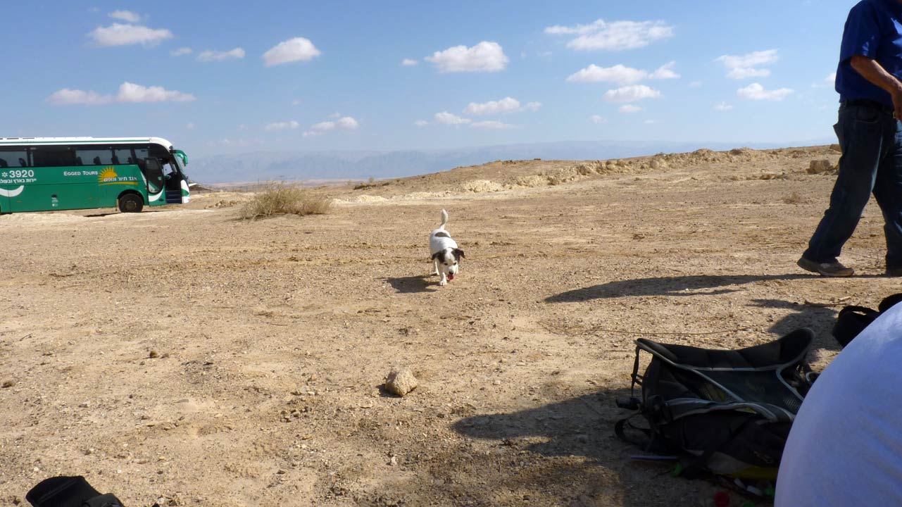
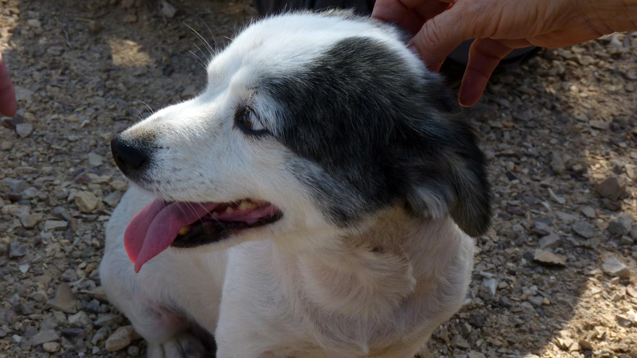
Uzi's dog joined us listening to his master's voice
הכלב של עוזי הצטרף אליו
 Aaron Shohet - 07/11/2011
 Aaron Shohet - 07/11/2011
 Aaron Shohet - 07/11/2011
Tsofar
צופר
 Aaron Shohet - 07/11/2011
 Aaron Shohet - 07/11/2011
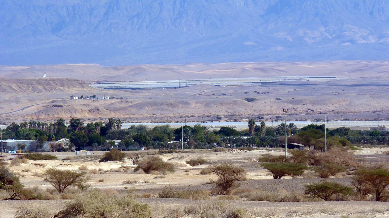
Tsofar and its agricultural areas both next to the settlement and
the leased lands on the other side of the Jordan
צופר ושטחי החקלאות שלה
גם צמוד לישוב, וגם "מובלעת צופר": שטח חקלאי שגודלו כ-2,000
דונמים הנמצא בריבונות ירדנית אך במשטר מיוחד לפי הסכם השלום בין
ישראל לירדן. בשטח יש אך ורק בתי רשת חקלאיים, והכניסה אליו מותרת אך
ורק לחקלאי מושב צופר
The Spring Route - ציר המעיינות
 Aaron Shohet - 07/11/2011
Looking at a section of the Springs Route which got its name from
a number of small springs on the edges of the eastern Negev
Mountain, where it meets the Great Rift Valley in its Arava
section. In the past this was an important route for travelers on
foot, today these springs are dry due to over pumping
מבט אל חלק מציר המעיינות שקיבל את שמו הודות לכמה וכמה מעיינות
קטנים הנחבאים בשולי הר הנגב המזרחי, בנקודת המפגש עם בקע הערבה.
המעיינות בוקעים לאורך קו השבר, ומציינים במיקומם את נקודת המגע בין
הר הנגב המזרחי לבין השבר הסורי אפריקני, היא בקע הערבה. בעבר הייתה
דרך זו חשובה להולכי הרגל בערבה, היום, בגלל שאיבת יתר, המעיינות
בציר זה יבשים
ֿ
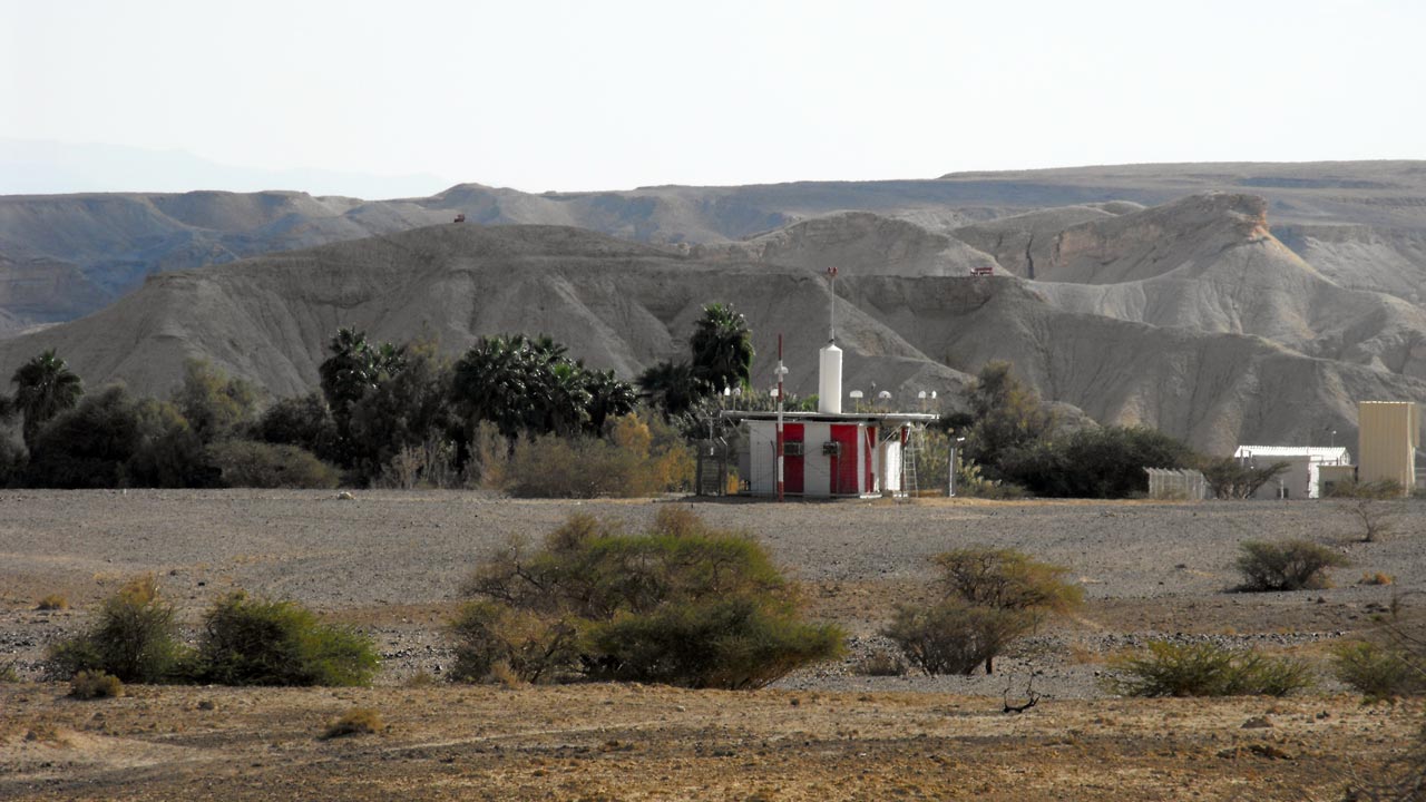 Eli Paglin - 07/11/2011
A navigation aid, nowadays only light aircraft without GPS
or other advanced navigation instruments need it
מימין מכשיר עזר לניווט, כיום רק מטוסים קלים ללא ג'י. פי. אס.
זקוקים לו
 Aaron Shohet - 07/11/2011
 Aaron Shohet - 07/11/2011
 Aaron Shohet - 07/11/2011
 Aaron Shohet - 07/11/2011
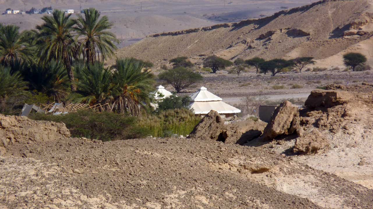
We see these unusual buildings from afar and we were told that
they were part of a Moroccan style architecture for an opulent
hotel, the entrepreneur whose project it was lost his investment
and the buildings stand empty. Today the project maybe revived but
as holiday camp type hotel
מרחוק ראינומיבנים יוצאי דופן, ההסבר שקיבלנו שהיתה יוזמה
למלון מפואר בסגנון מרוקאי מדברי שהסתיים בפשיטת רגל. כיום מנסים
להחיות את הפרויוקט ככפר נופש צנוע יותר
 Aaron Shohet - 07/11/2011
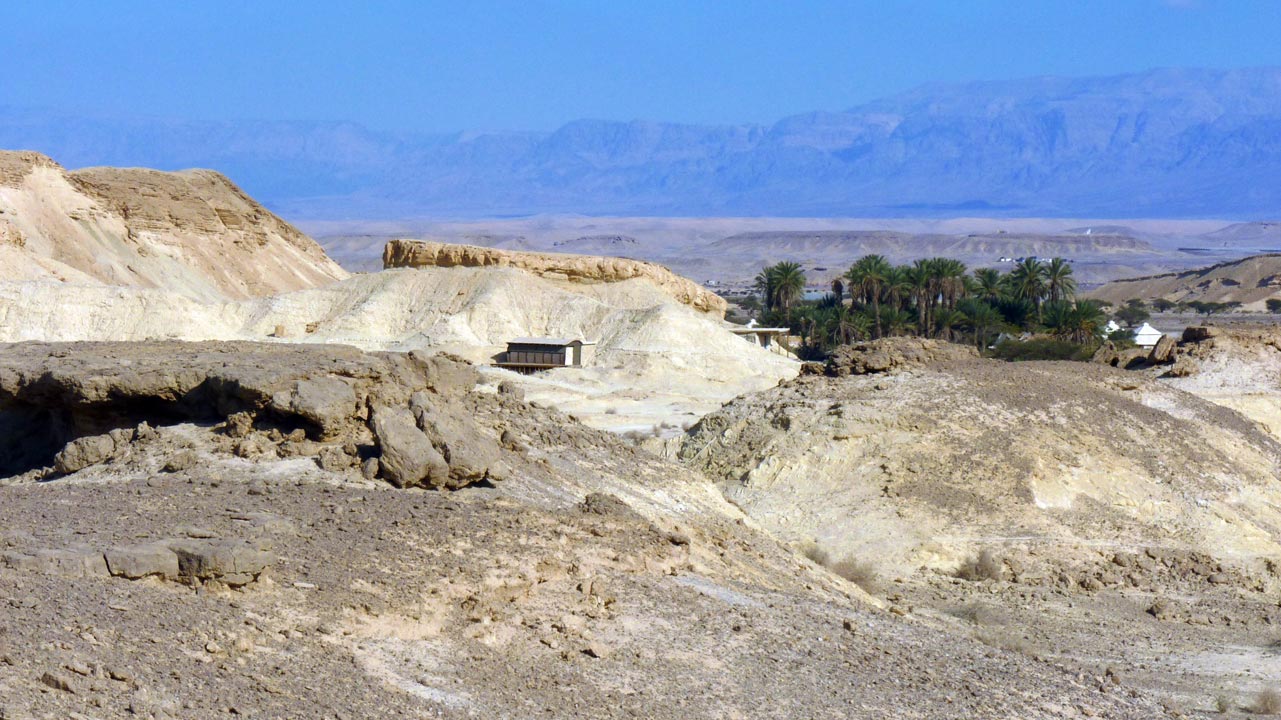
That is a refurboshed old railway car, and I do not know
what part of the hotel it is supposed to be
זה קרון רכבת ישן ששופץ, איני יודע איזה חלק של המלון זה אמור להיות
 Aaron Shohet - 07/11/2011
 Aaron Shohet - 07/11/2011
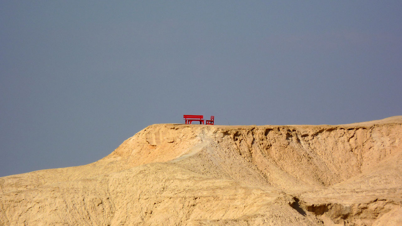
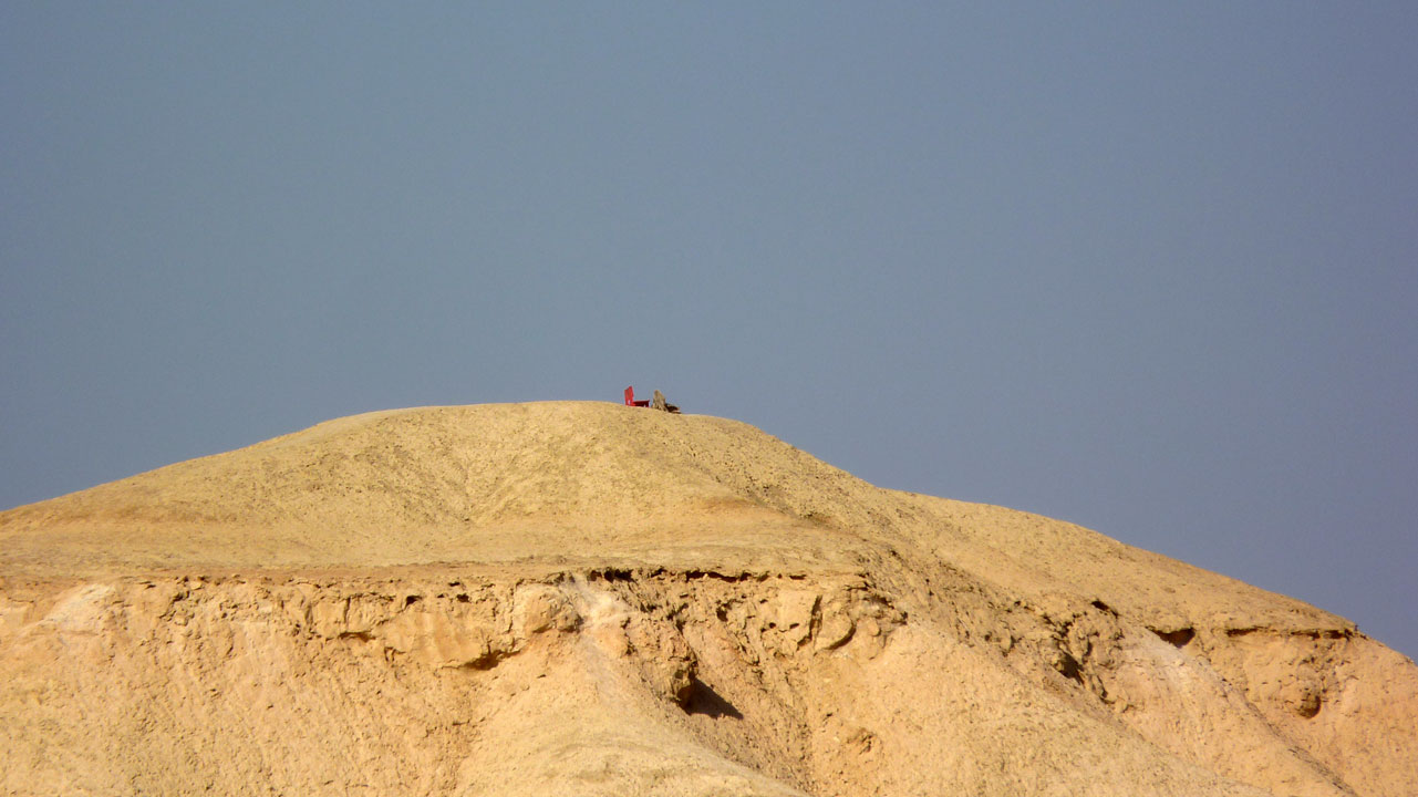
Art in the desert
אומנות במדבר
 Aaron Shohet - 07/11/2011
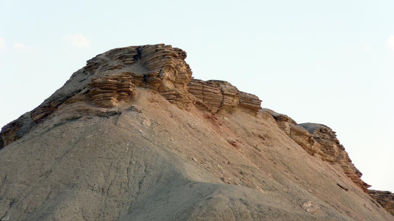
More art
gus
 Aaron Shohet - 07/11/2011
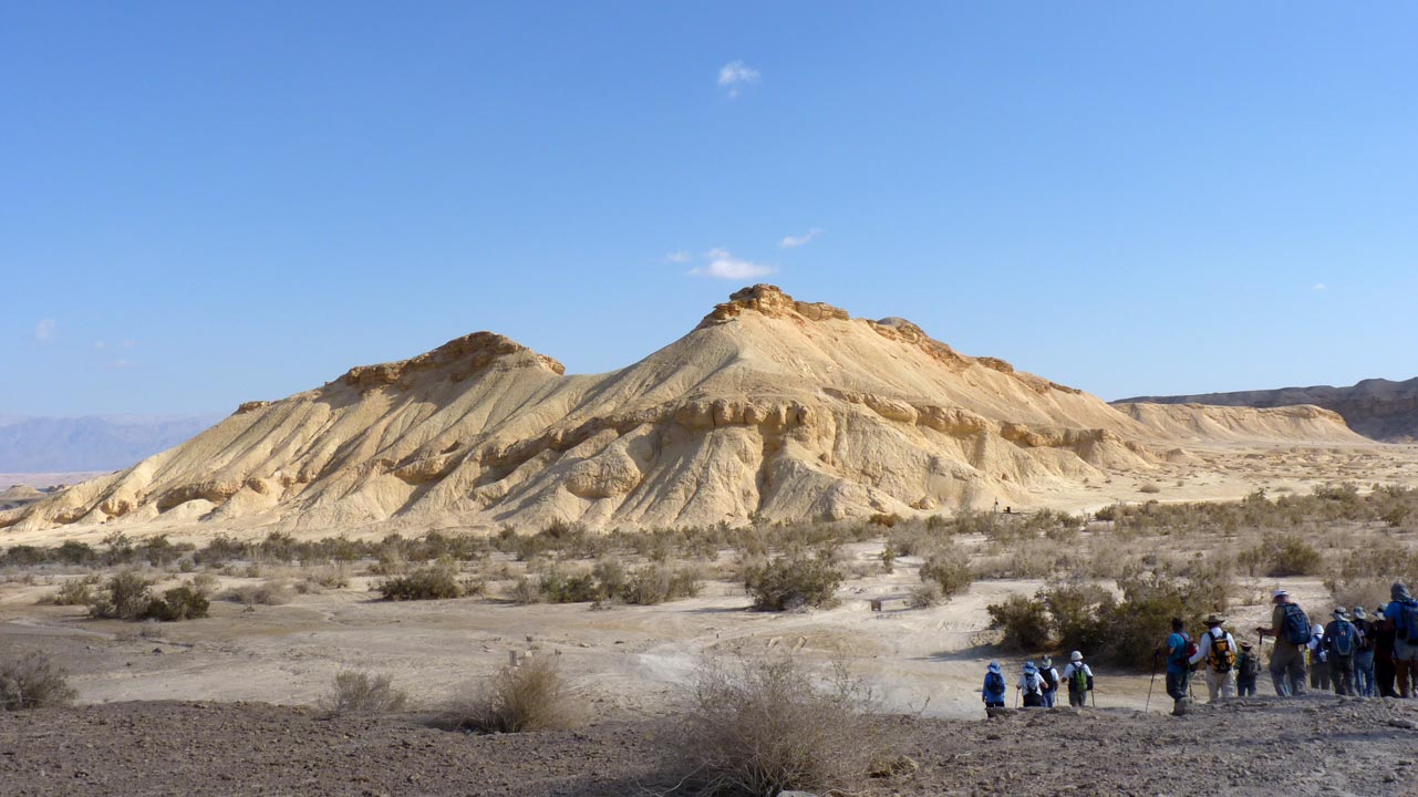
More art, this time Mother Nature's
עוד אומנות, הפעם של הטבע
 Aaron Shohet - 07/11/2011
 Aaron Shohet - 07/11/2011
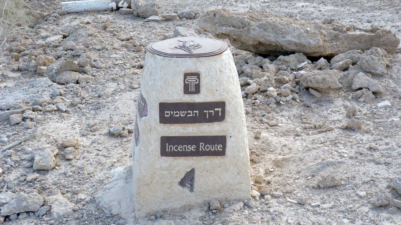
Once again we are on the
Incense Route
שוב נמצאים ב
דרך הבשמים
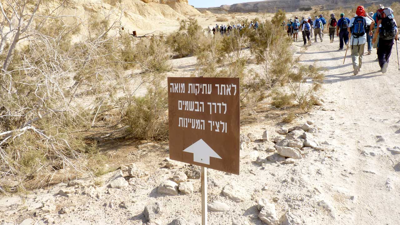 Aaron Shohet - 07/11/2011
This section is also the Springs Route
גם קטע זה על ציר המעיינות
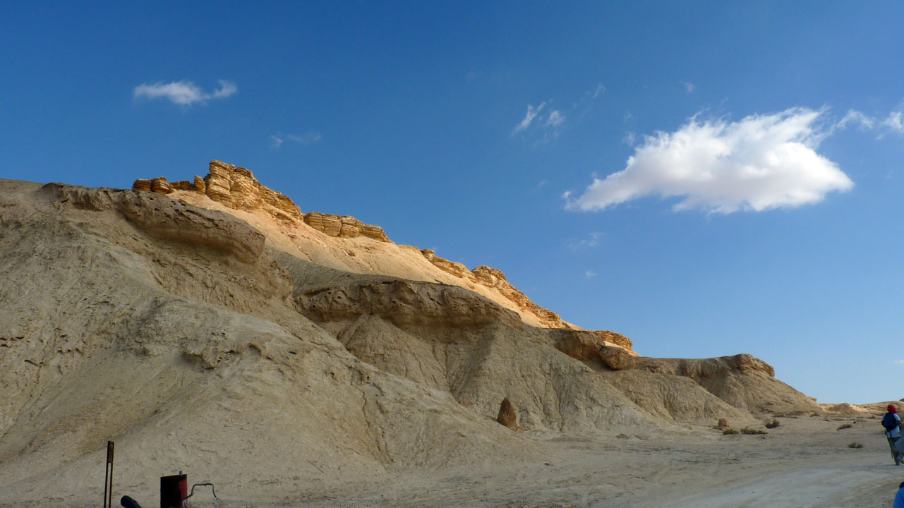 Aaron Shohet - 07/11/2011
Moa Caravanserai - חאן מואה
A caravanserai or khan was a roadside inn where travelers could
rest and recover from the day's journey
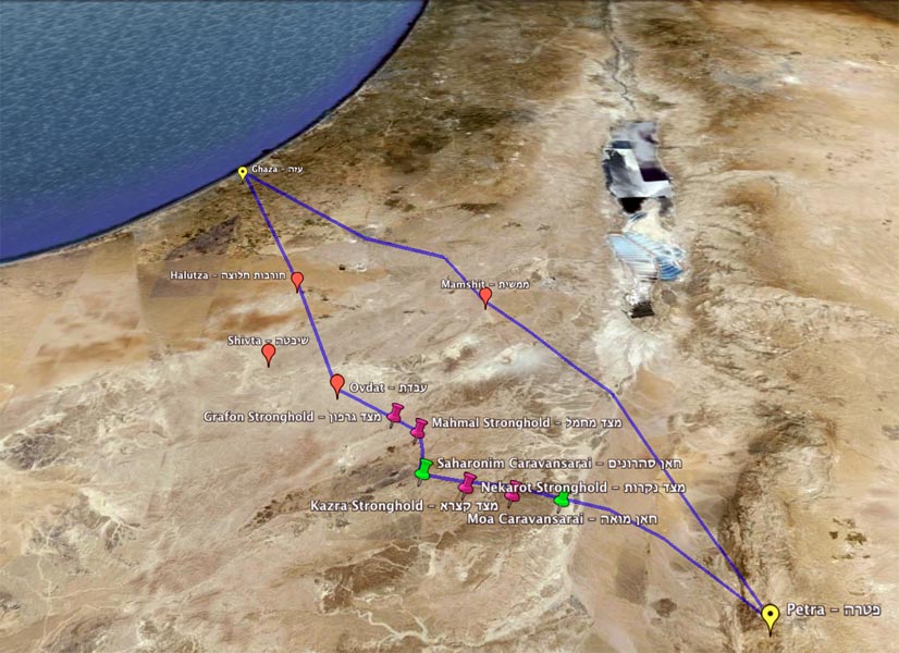 Screen capture of a Google Earth rendition of a map I made
The Incense Route crossing Israel -
Click here a
larger map
דרך הבשמים בקטע החוצה את ישראל -
הקליקו כאן לקבלת
מפה מוגדלת
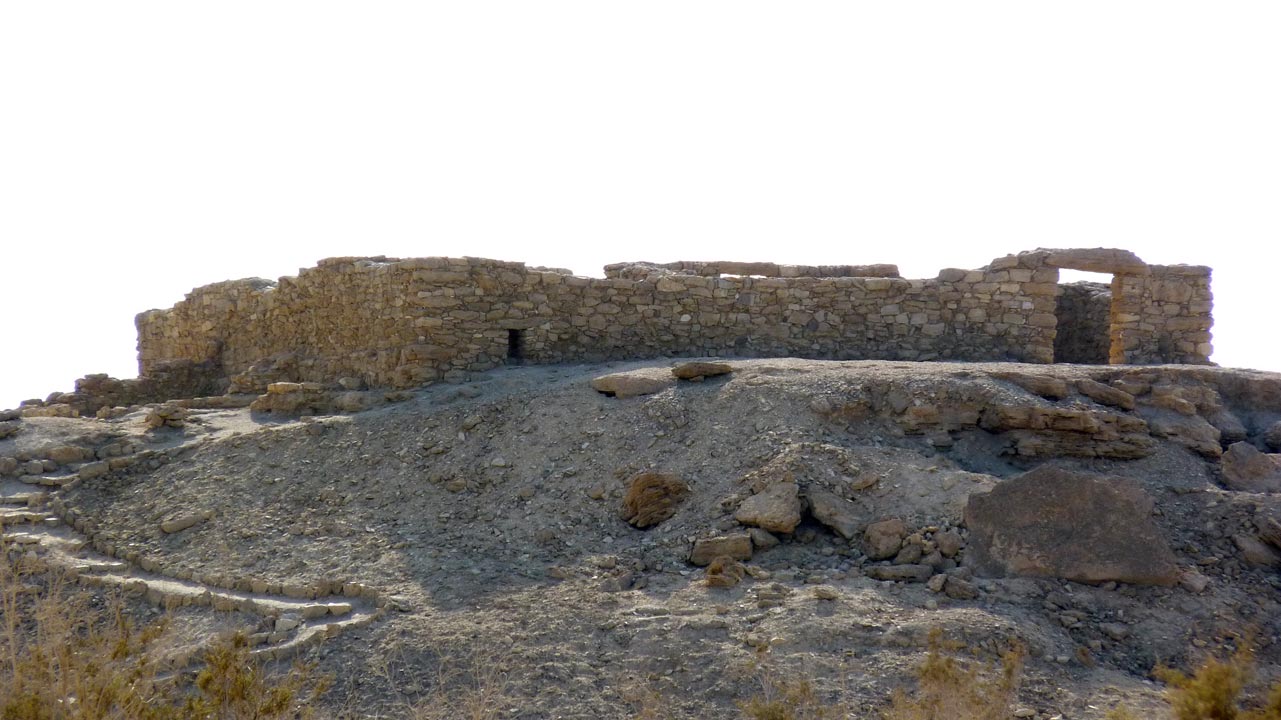 Aaron Shohet - 07/11/2011
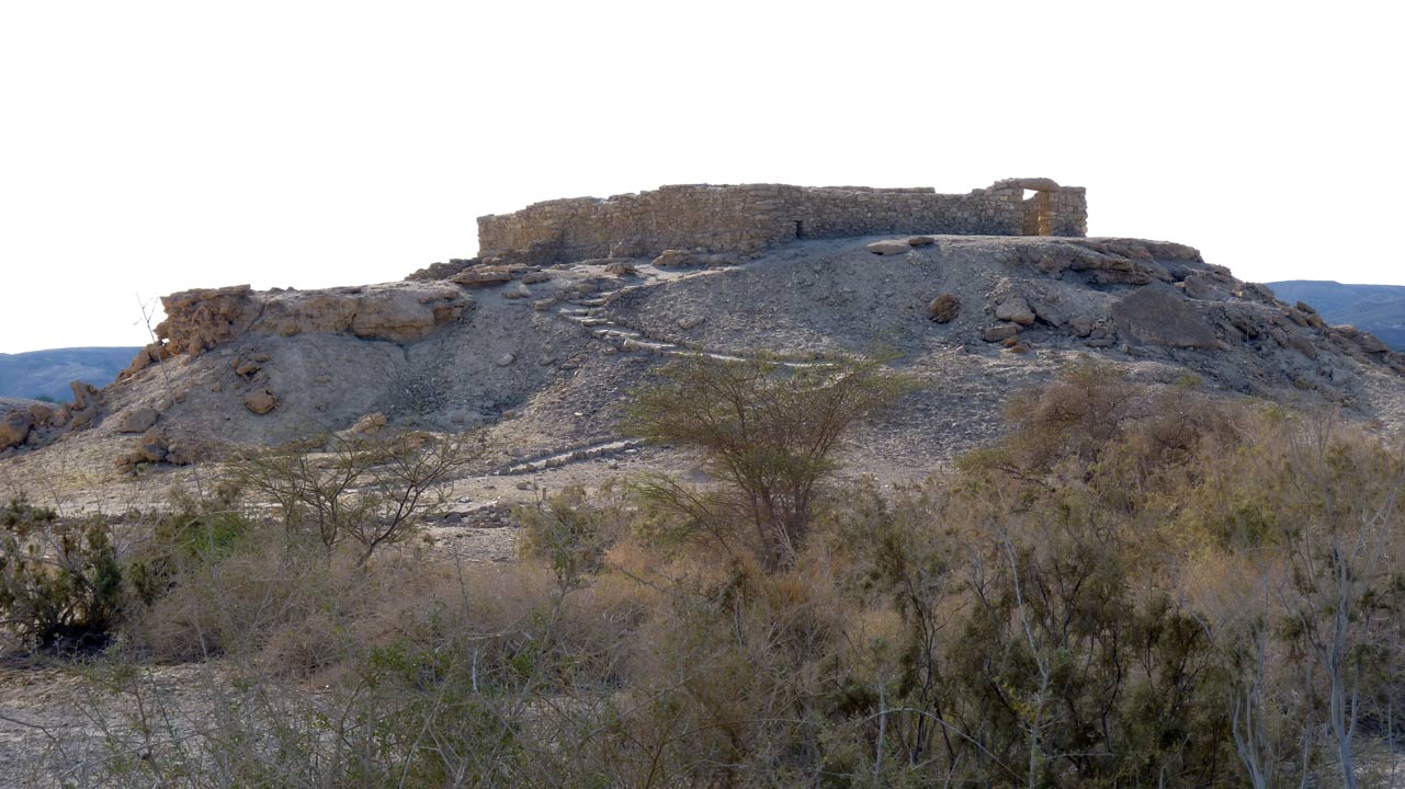
On a hill overlooking the Moa Caravanserai is this villa that we
deviated from the trail to visit. The Moa Caravanserai together
with four ancient cities, four strongholds, another caravanserai
and the part of the Incense Route connecting them make up the "
Incense
Route
-
Desert
Cities
in
the
Negev" a World Heritage Site - reference number 1107 in the
UNESCO list
על גבעה המשקיפה מעל חאן מואה הנאבאטית נמצאת וילה זו שסטינו מהשביל
כדי לבקר בה. חאן מואה יחד עם עוד ארבע ערים עתיקות, ארבע מצודות,
עוד חאן אחד, אבני דרך, וקטעים מדרך הבשמים המחברת ביניהם - הנקראים
ביחד "
דרך הבשמים -
ערי מדבר בנגב" - נכללו בהכרזה 1107 של אונסקו כאתר
מורשת עולמי. לתאור יותר מפורט הקישו על הקישורים להלן:
תאור בעברית,
תאור
באתר אונסקו באנגלית,
מצגת של רשות הגנים בעברית
 Aaron Shohet - 07/11/2011
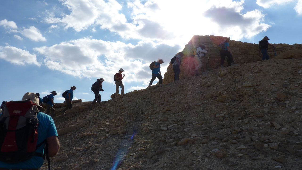
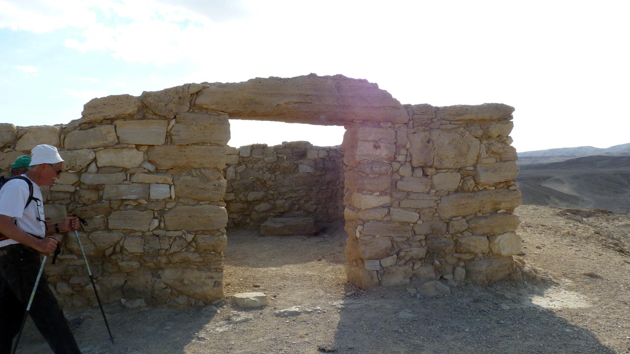
We will climb up the ruins of this rich person's ancient home
overlooking the Moa Caravanserai. The is the claim that this is
Moat Awad and not Moa
עלינו לבית מגורים מפואר מעל לחאן מואה. יש גם טענה שזה רק
מועת אוואד ולא מואה
 Eli Paglin - 07/11/2011
From the side
מהצד
 Eli Paglin - 07/11/2011
 Aaron Shohet - 07/11/2011
 Aaron Shohet - 07/11/2011
 Aaron Shohet - 07/11/2011
 Aaron Shohet - 07/11/2011
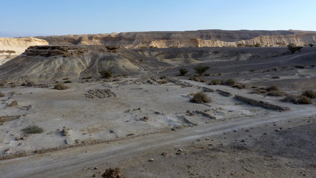
The remains of the Moa Caravanserai below us
שרידי
חאן מואה הנבאטית מתחתינו
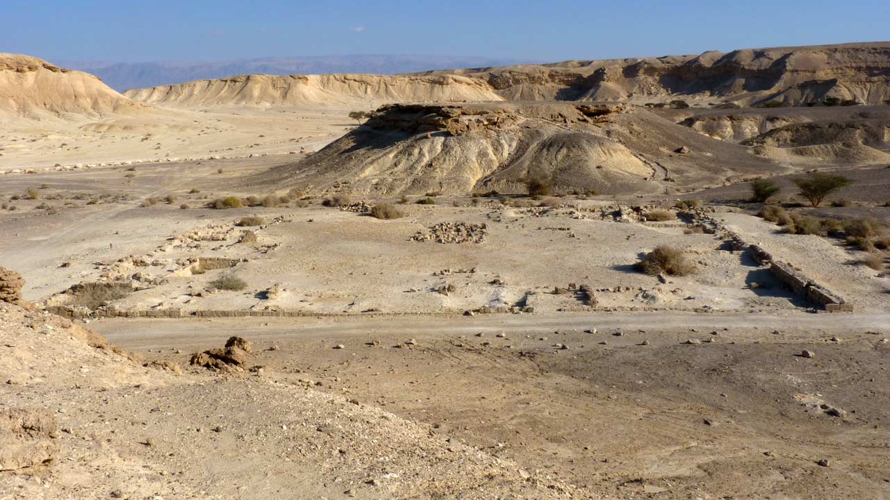 Aaron Shohet - 07/11/2011
The remains of the Moa Caravanserai below us
שרידי חאן מואה הנבאטית מתחתינו
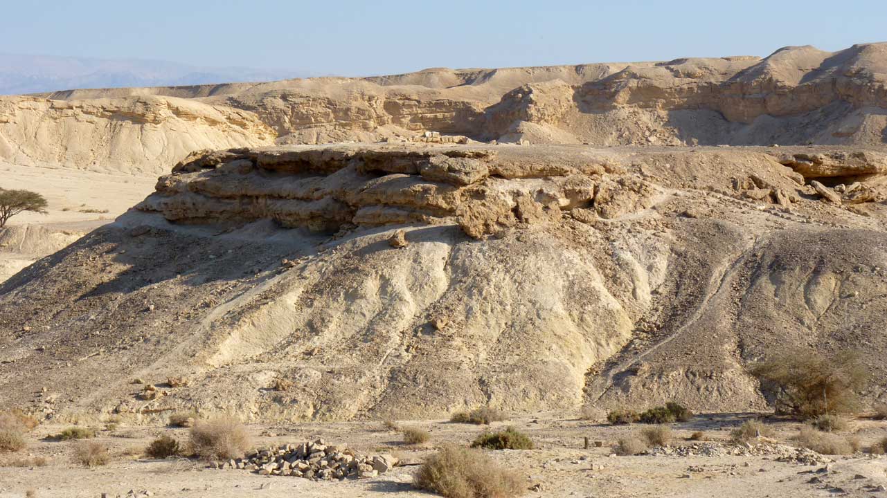 Aaron Shohet - 07/11/2011
Atop the caravanserai are the remains of the Moa Stronghold
מעל החאן שרידי מצד מואה
 Aaron Shohet - 07/11/2011
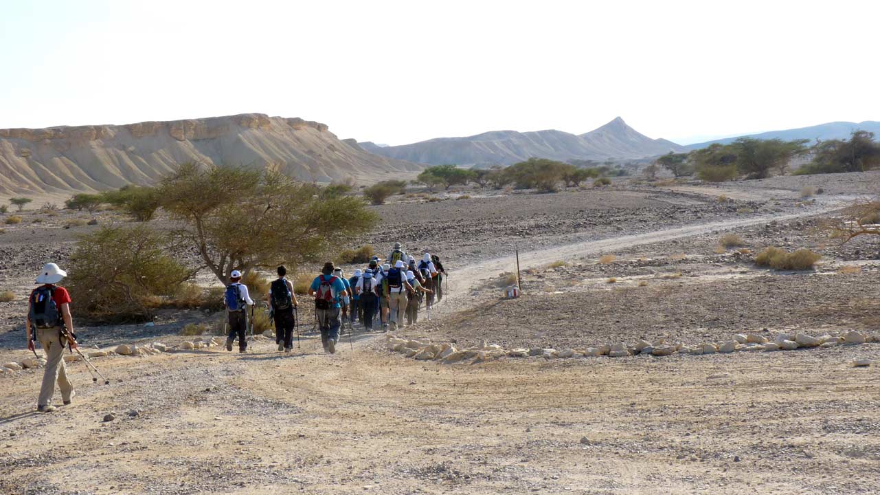
The seismic activity that released underground water in this area
(we are still on the spring route) is why there are so many
Tamarisk or Cedar trees here
ריבוי האשלים כאן הנו תוצאה של פעילות סיסמית ששחררה מים תת-קרקעיים
באיזור זה של ציר המעיינות
 Aaron Shohet - 07/11/2011
In English we have the Incense Route on one side and the Spring
Route on the other, the Hebrew only has the Incense Route on both
sides
מצא חן בעיני שבאנגלית רשום בצד אחד ציר המעיינות ובשני דרך הבשמים,
כשבעברית שני הצדדים זהים
 Aaron Shohet - 07/11/2011
 Eli Paglin - 07/11/2011
 Aaron Shohet - 07/11/2011
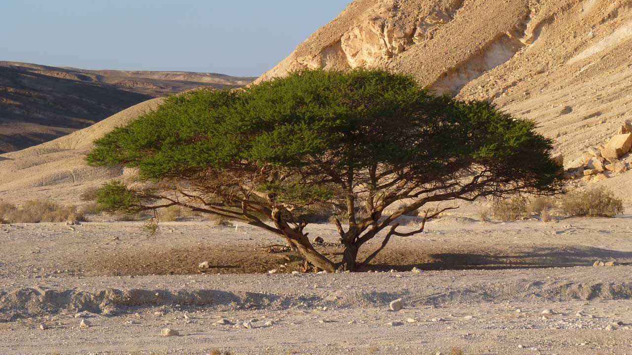 Aaron Shohet - 07/11/2011
The Ashosh Tree
העץ של אשוש
End point - נקודת הסיום
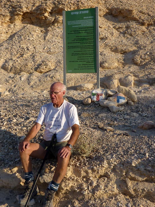 Aaron Shohet - 07/11/2011
Amnon marking the end point
אמנון מסמן את נקודת הסיום
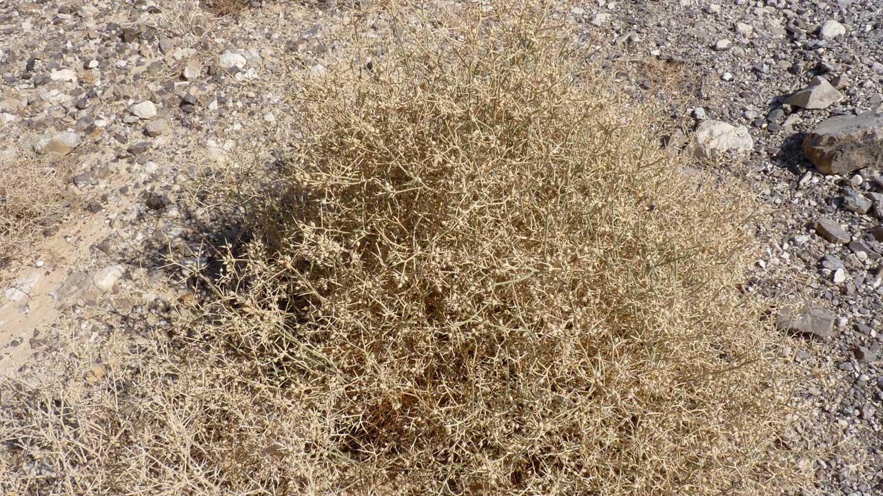 Aaron Shohet - 07/11/2011
HELP
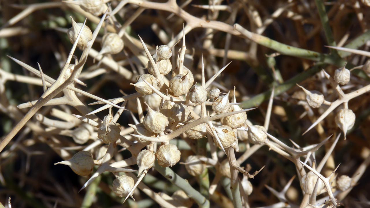 Aaron Shohet - 07/11/2011
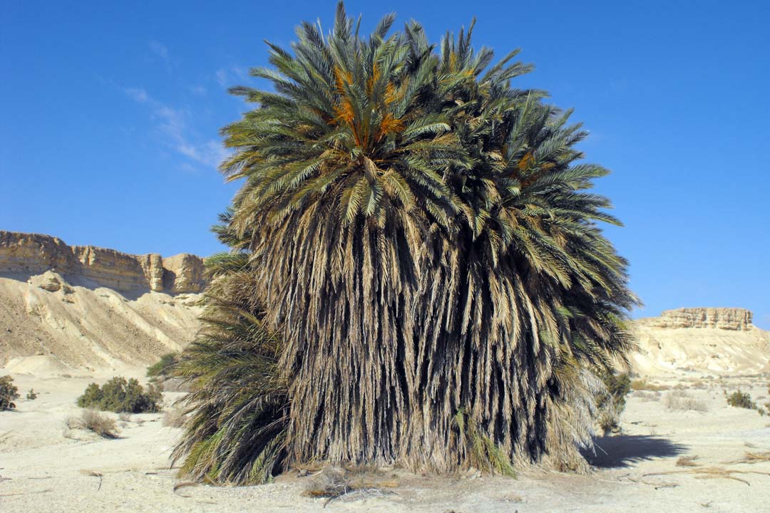 Eli Paglin - 07/11/2011
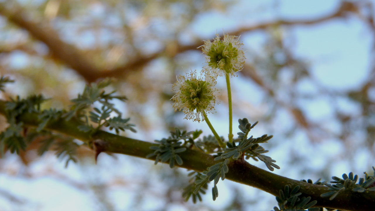 Aaron Shohet - 07/11/2011
Twisted acacia
 (
Acacia raddiana)
שיטה סלילנית -
הקליקו כאן להסבר וסיפור ו
כאן להסבר ואיזכור במקורות
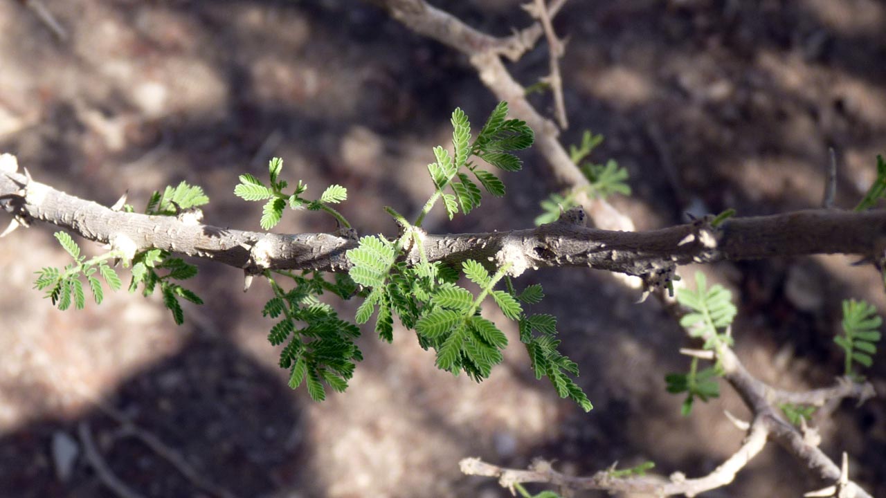 Aaron Shohet - 07/11/2011
Twisted acacia
 (
Acacia raddiana)
שיטה סלילנית -
הקליקו כאן להסבר וסיפור ו
כאן להסבר ואיזכור במקורות
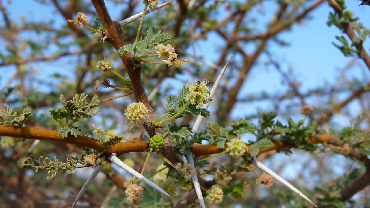 Aaron Shohet - 07/11/2011
Twisted acacia
 (
Acacia raddiana)
שיטה סלילנית -
הקליקו כאן להסבר וסיפור ו
כאן להסבר ואיזכור במקורות
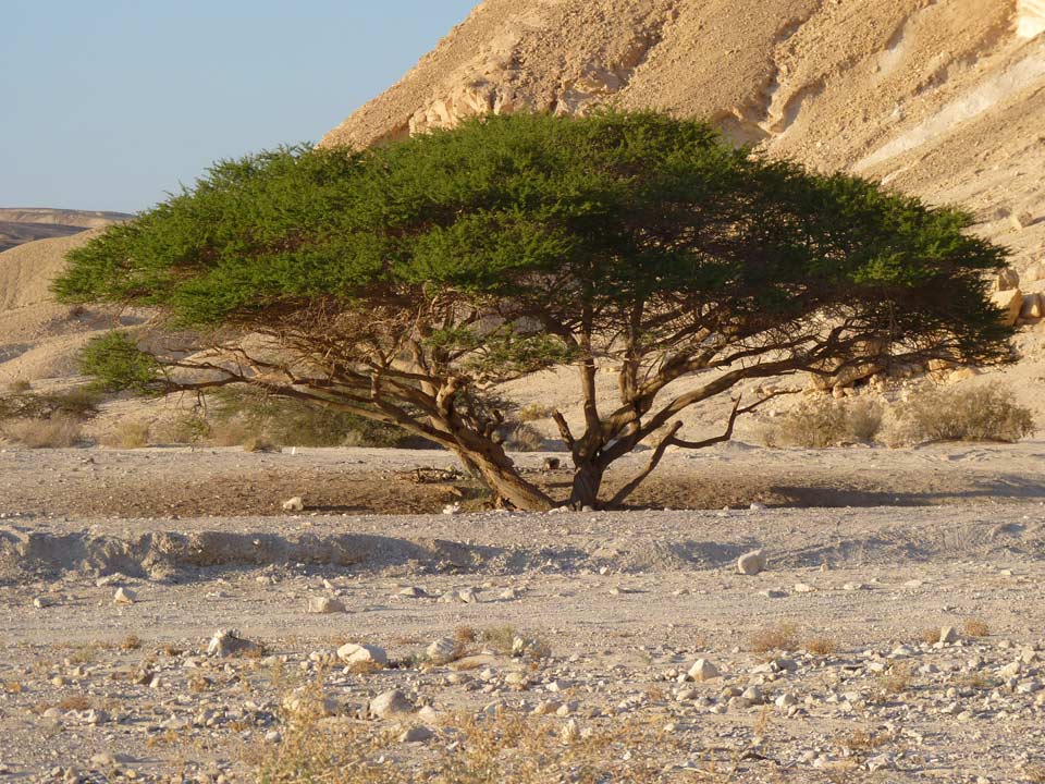 Aaron Shohet - 01/11/2011
Twisted acacia
 (
Acacia raddiana)
שיטה סלילנית -
הקליקו כאן להסבר וסיפור ו
כאן להסבר ואיזכור במקורות
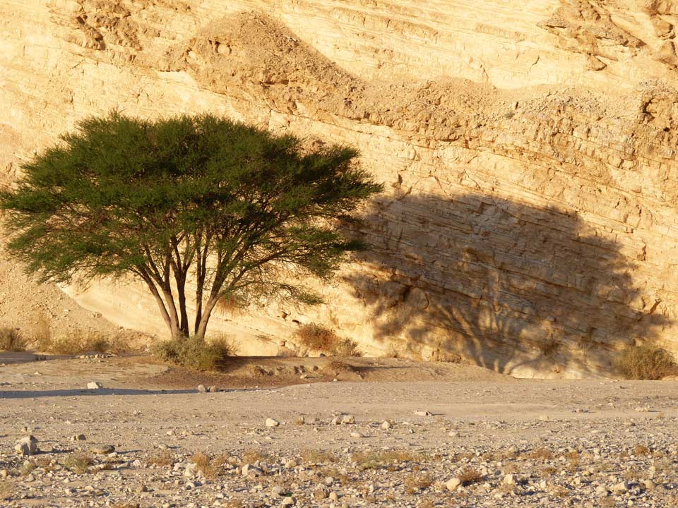 Aaron Shohet - 07/11/2011
Acacia
 (
Acacia
tortilis)
שיטה סוככנית
מדוע נקראת השיטה - שיטה
לאחר יציאת מצרים, שעה שנדד עם
ישראל במדבר ובעיית המים הציקה לא פעם לאנשים. המנהיג הנערץ משה
אמנם מצא פתרונות בכל פעם, אך כמות המים היתה קטנה והעם היה נדרש
לנהוג בם בחסכנות רבה. באחת הפעמים בהם נגמרו המים, החליטו בני
ישראל לפנות למשה ולספר כי הפעם נדרשת כמות מים גדולה במיוחד מאחר
ויש להשקות את הגמלים
לאחרות התייעצות עם ה', הרגיע
משה את העם ומסר כי ניתן לישון בשקט ולמחרת היום הכל יבוא על מקומו
בשלום. למחרת, כשקם העם, לא היו בנמצא לא טיפות ולא מים. בהתבוננות
סביב, הבחינו כי מכל עבר צמחו עצים. מעלים אלו הגמלים ליחכו את
העלים וכך הרוו את צימאונם
כך למעשה, שיטה ה' ומשה בעם
שלא ידע להתאפק. לכן עד היום העץ נקרא שיטה, חי במדבריות, ומרוה את
הגמל
Fauna - החי
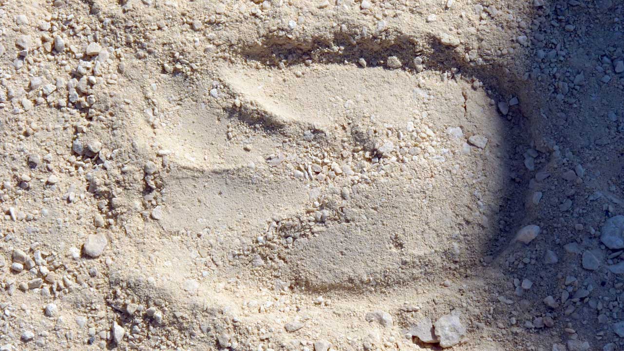 Aaron Shohet - 07/11/2011
Hoofprint of an
Arabian
Oryx aka White Oryx (Oryx
leucoryx), these have been released into this area
by the "
Hai-Bar Yotvata" as part of their
program to reintroduce into the wild animals mentioned in the
Bible.
Oryx leucoryx
were originally found in Syria, Iraq, Israel, Jordan, Sinai, and
the Arabian Peninsula
טביעות פרסה של
ראם לבן, "
חי בר יוטבתה" שמטרתו בין השאר היא הקמת
גרעיני רבייה של בעלי חיים שנזכרו במקרא ונכחדו מנופי הארץ והשבתם
לטבע מצליחה עד כה עם הראם הלבן באיזור זה. הגרעין מוקם תחילה ב"חי
בר" אחר כך עברו התאקלמות בחווה בעין שחק ובסוף שוחררו באיזור
זה
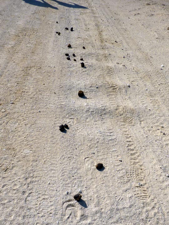 Aaron Shohet - 07/11/2011
Hoofprints and droppings of the
White Oryx.
The legend of the unicorn may stem in part
from the White oryx which, when seen in profile, often appears to
have only a single horn. The bible uses the Hebrew word re’em for
White oryx. In the King James’ version of the bible the word re’em
is translated as ‘unicorn’.
גללים ועקבות של
ראם לבן. יתכן
שאגדת החד-קרן נובעת ,לפחות באופן חלקי,
מהראם שנראה במבט מהצד כבעל קרן אחת. הראם מוזכר בתנך
ובתרגום בגרסת המלך ג'יימס מילה זו תורגמה כחד קרן
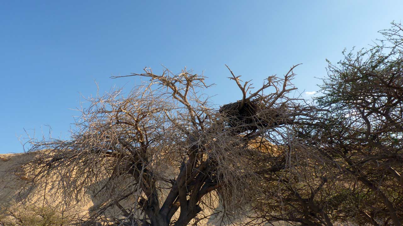 Aaron Shohet - 07/11/2011
A large bird's nest
קן של ציפור גדולה
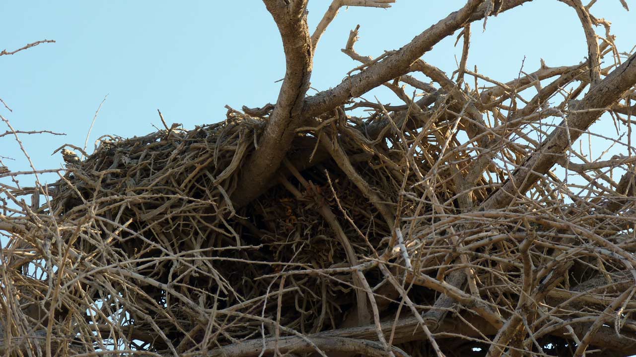 Aaron Shohet - 07/11/2011
A large bird's nest
קן של ציפור גדולה - אולי עזניה
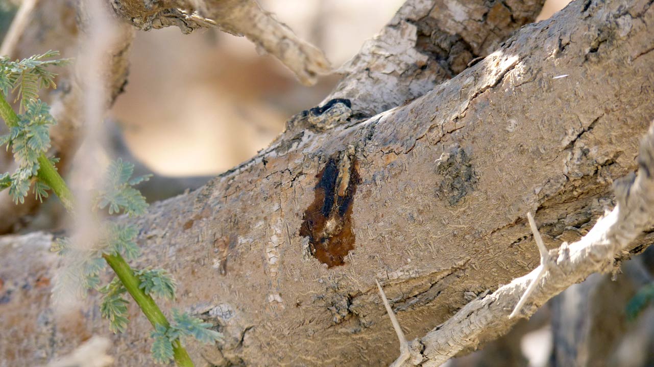 Aaron Shohet - 07/11/2011
איך נקרא היצור שגורם לשיטה להקיז שרף
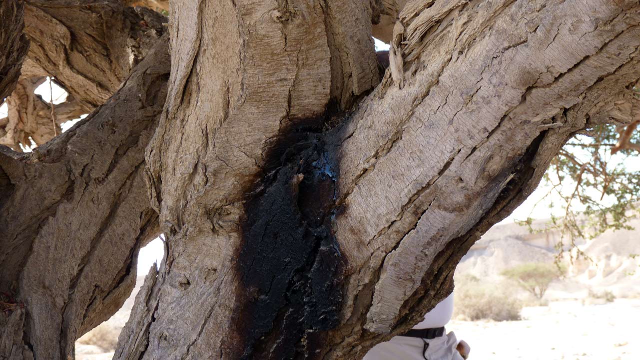 Aaron Shohet - 07/11/2011
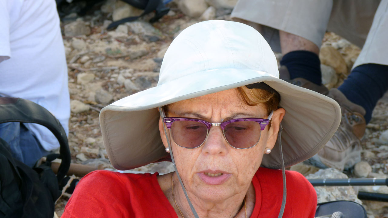
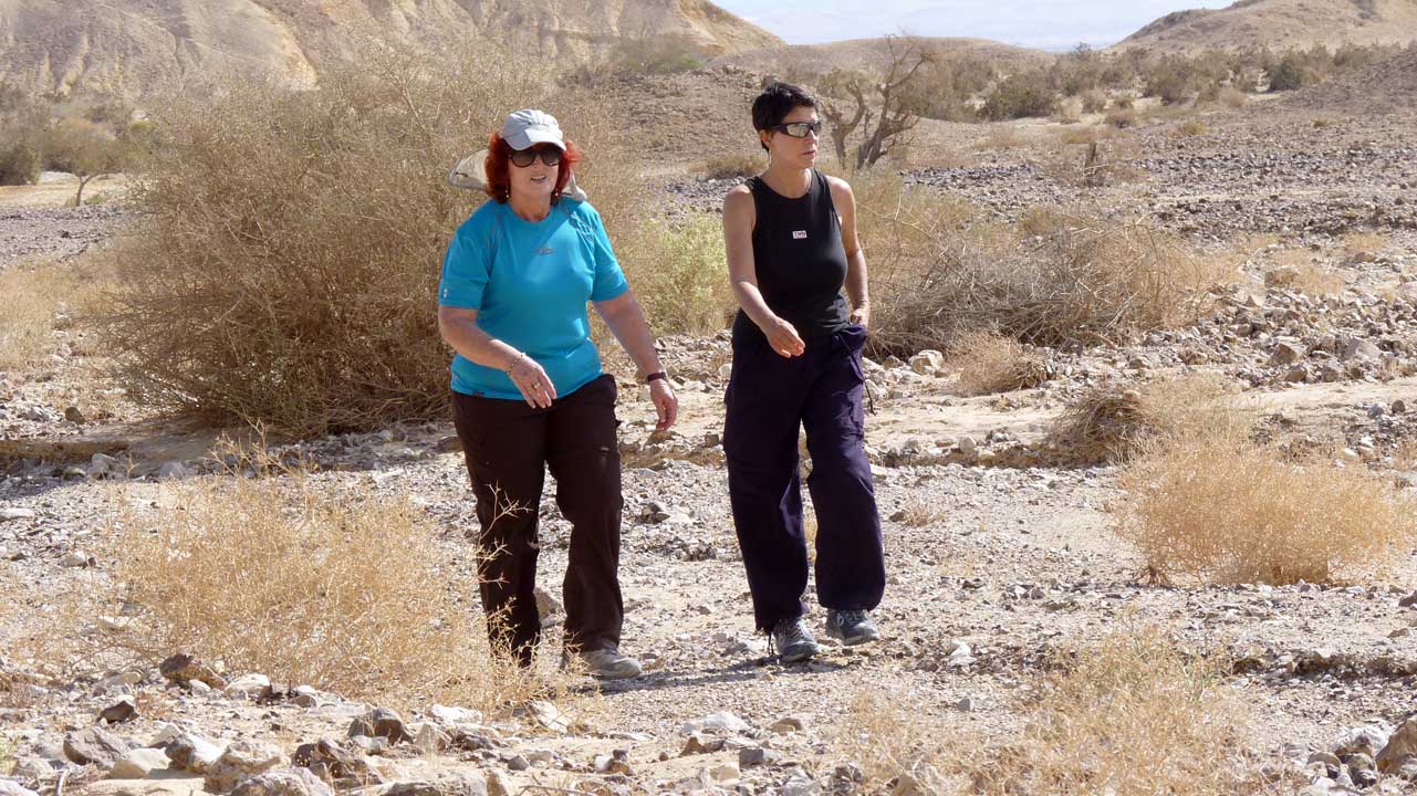
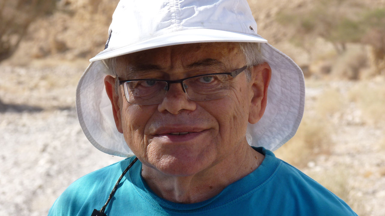
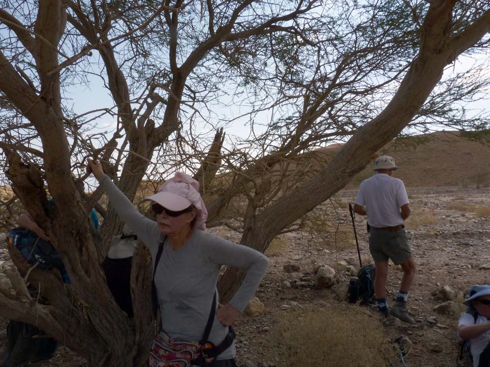
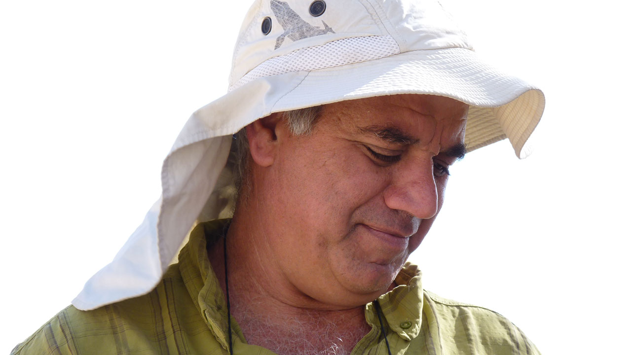
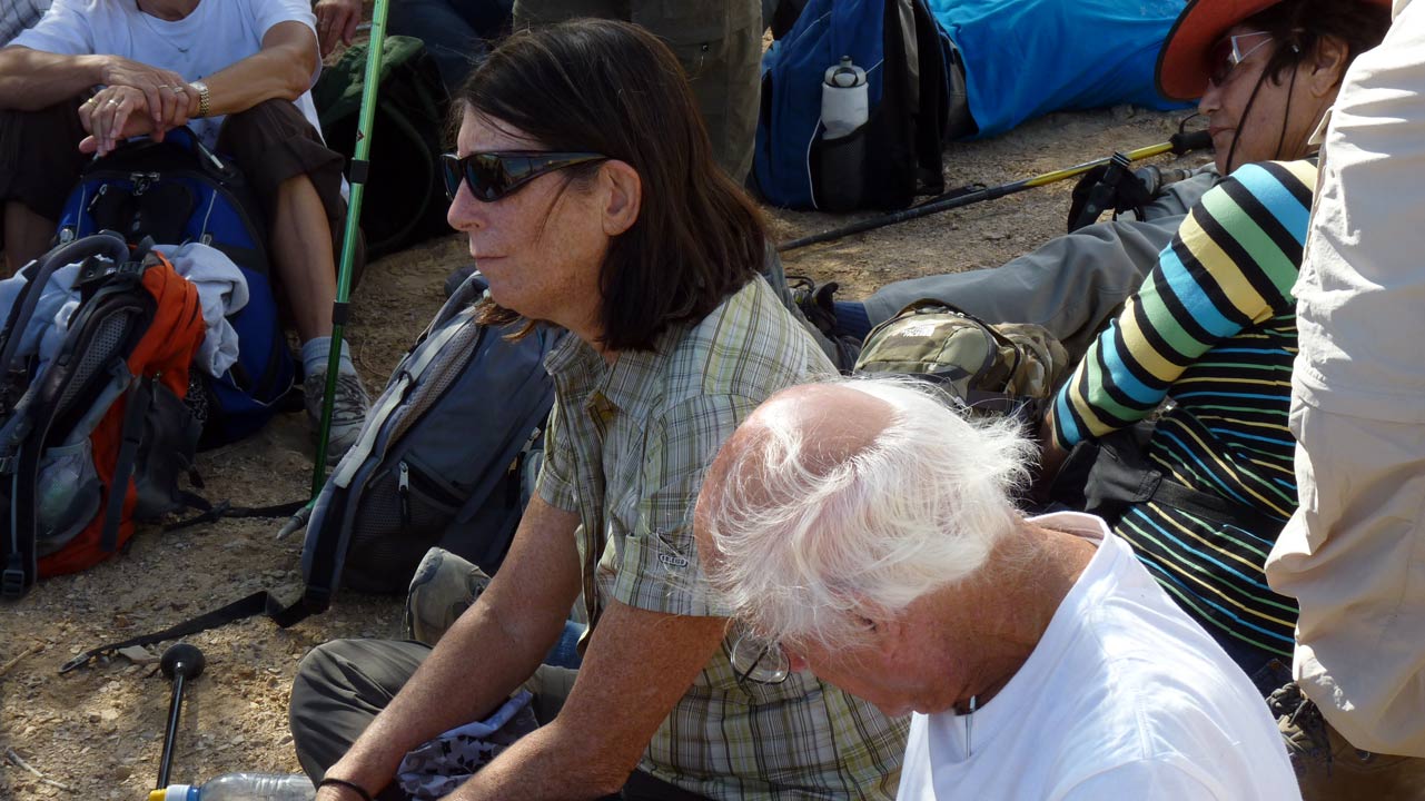
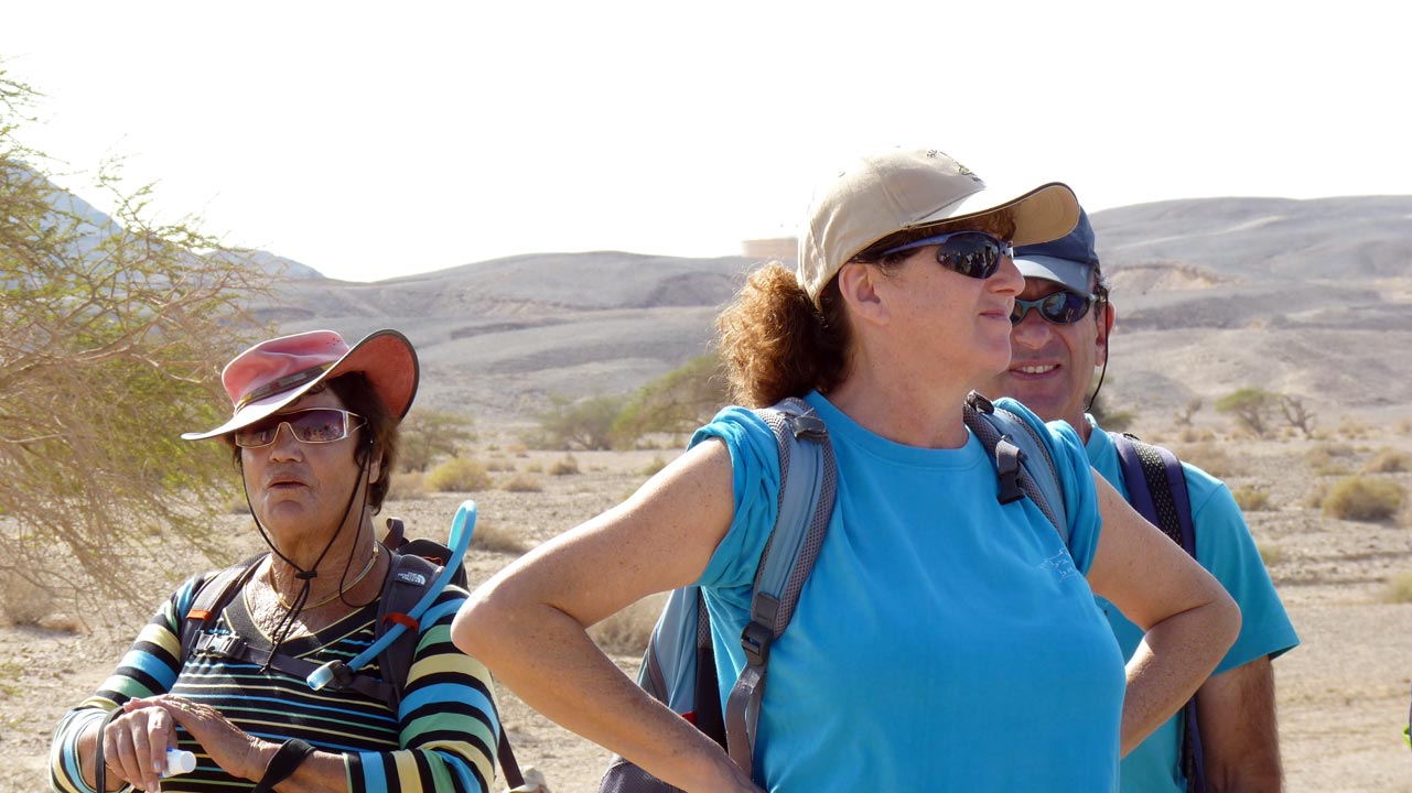
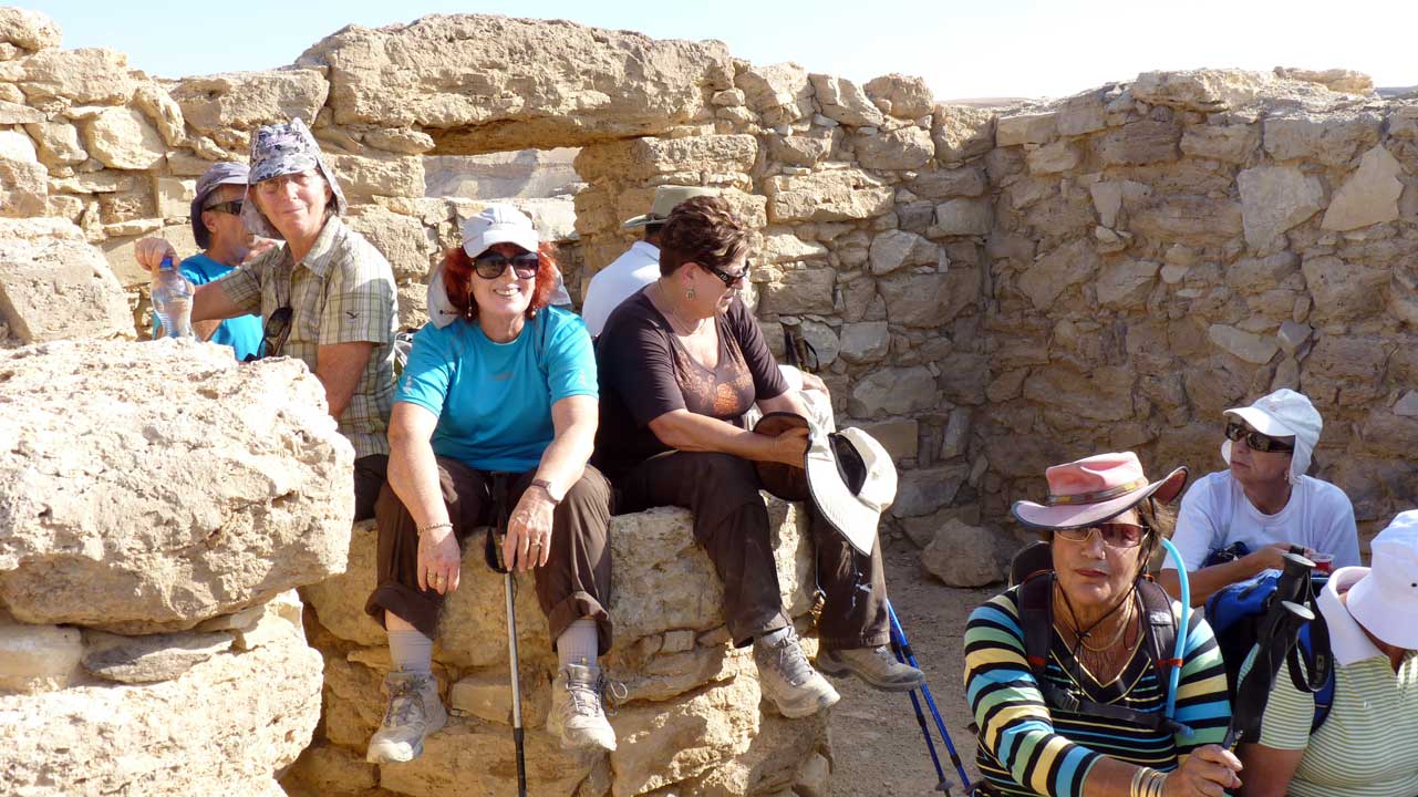
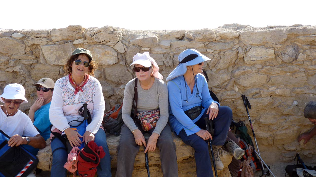
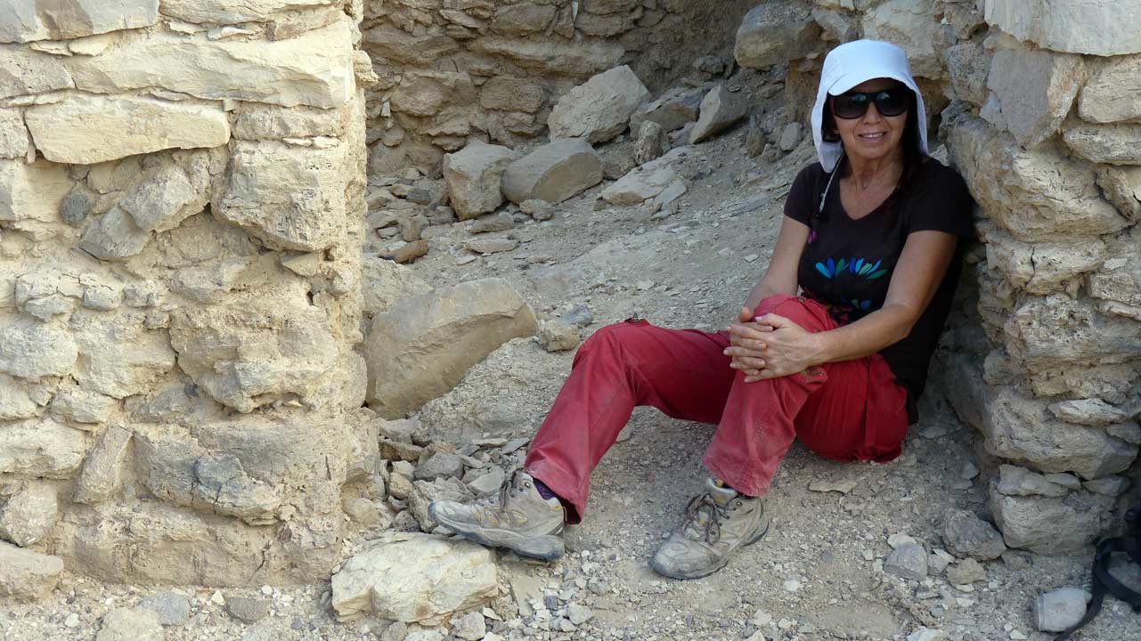
The Group - החברים
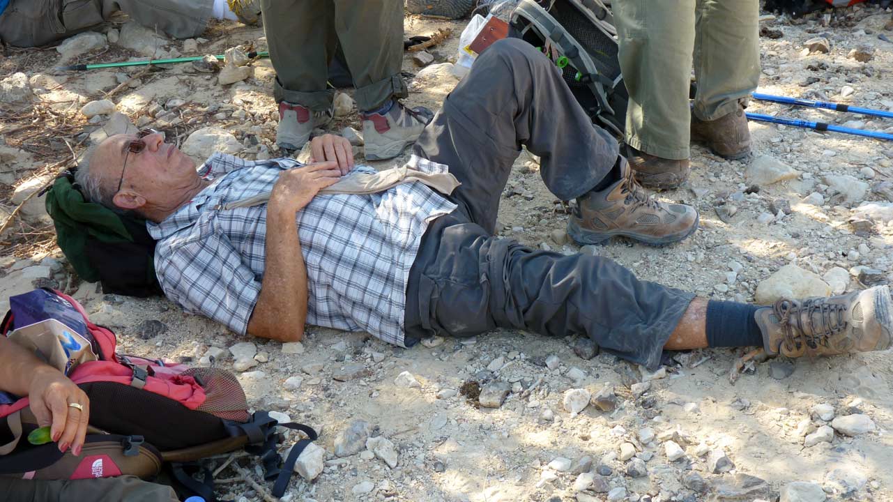
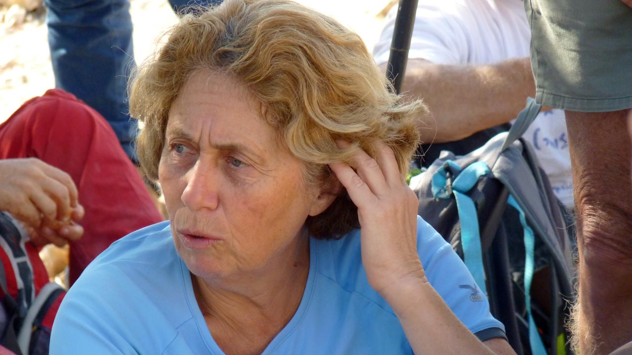
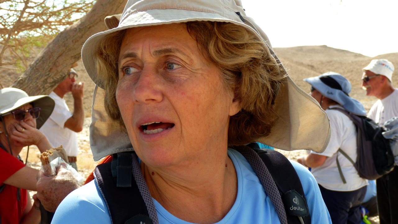
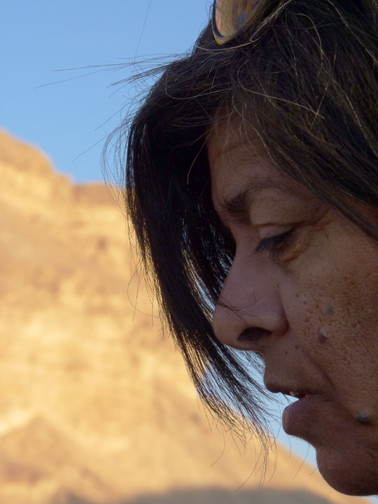
Photos of some of the
group members,
צילומים של חלק מהחברים
 Aaron Shohet - 07/11/2011
 Aaron Shohet - 07/11/2011
 Aaron Shohet - 07/11/2011
 Aaron Shohet - 07/11/2011
 Aaron Shohet - 07/11/2011
 Aaron Shohet - 07/11/2011
 Aaron Shohet - 07/11/2011
 Nitza Shohet - 07/11/2011
 Aaron Shohet - 07/11/2011
 Aaron Shohet - 07/11/2011
 Aaron Shohet - 07/11/2011
 Nitza Shohet - 07/11/2011
 Eli Paglin - 07/11/2011
 Aaron Shohet - 07/11/2011
 Aaron Shohet - 07/11/2011
 Aaron Shohet - 07/11/2011
 Aaron Shohet - 07/11/2011
 Aaron Shohet - 07/11/2011
 Nitza Shohet - 07/11/2011
 Nitza Shohet - 07/11/2011


 במפה שתתקבל תוכלו
להשתמש בקישור
 " logo and fly the
whole route


